Sunday, January 8, 2023

Star Trail in Mill Mountain Park

 We've been to the Roanoke Star a time or two, but never via the Star Trail.  After tackling the short hike at Roaring Run, we decided to make the not-quite-an-hour drive to Roanoke to do the Star Trail too.  At ~3.3 miles out and back, it was a mostly steady (but nothing too steep) uphill on the way to the star and thus a steady downhill back.  The trail isn't much to write home about, but it's nice to have some protected woods in the middle of the city. And the view of Roanoke from the star is pretty neat.

The Roanoke Star

At the parking area

Partial map of Mill Mountain.  We took the Star-Woodthrush Connector Trail (just a gravel road) to the Star Trail and back again.  It was ~3.3 miles total give or take.


Roaring Run


An easy, less than two mile loop trail to a beautiful waterfall.  The streamside trail paralleled a pretty creek, and the Woodland trail added some variation on the way back.  The old iron furnace was also a neat attraction!

The furnace

The falls

Honey poses near the creek

On the trail


The trail map

Sunday, December 5, 2021

Overlook from Miller's Cove Parking Area on AT

 Today's journey took us on a nice walk in the woods.  The "payoff" wasn't quite what I had hoped, but it was still an enjoyable walk through the woods and we didn't encounter another soul.  From the Miller Cove parking area on the Appalachian Trail, (37.390512602, -80.1963488276) we headed on AT Northbound (across the street from the parking offshoot and over wooden bridge over the creek).  We walked until we reached the overlook/viewpoint shown in the photos below (~2 miles in).  Note - the first two viewpoints noted on the below map are just relatively clear areas, but not exactly viewpoints.  We missed them on the way up since we were expecting something more dramatic.

Screenshot from the AT conservancy interactive map showing our route.  This is ~2 miles each way, so ~4 miles total.


Casey at the overlook (viewpoint 3 on map above)


One of the cleared areas off the side of the AT.  As you can see, it's pretty, but not exactly a viewpoint (I assume this is viewpoint 1 marked on the map above).


Sunday, October 24, 2021

Molly's Knob Loop - Hungry Mother State Park

 Casey and I stopped at Hungry Mother State Park en route to Asheville, VA in October and took the opportunity to hike Molly's Knob while we were there.  We did a roughly 5.5 mile loop which included an ascent to the top of Molly's Knob (see map below).  It was overall a nice hike with a simple, but beautiful overlook.  No rock scrambling was necessary and although the ascent to Molly's Knob was steep, I recall it being a moderate hike overall.


Saturday, September 25, 2021

Trayfoot Mountain-Paine Run Loop - Shenandoah National Park

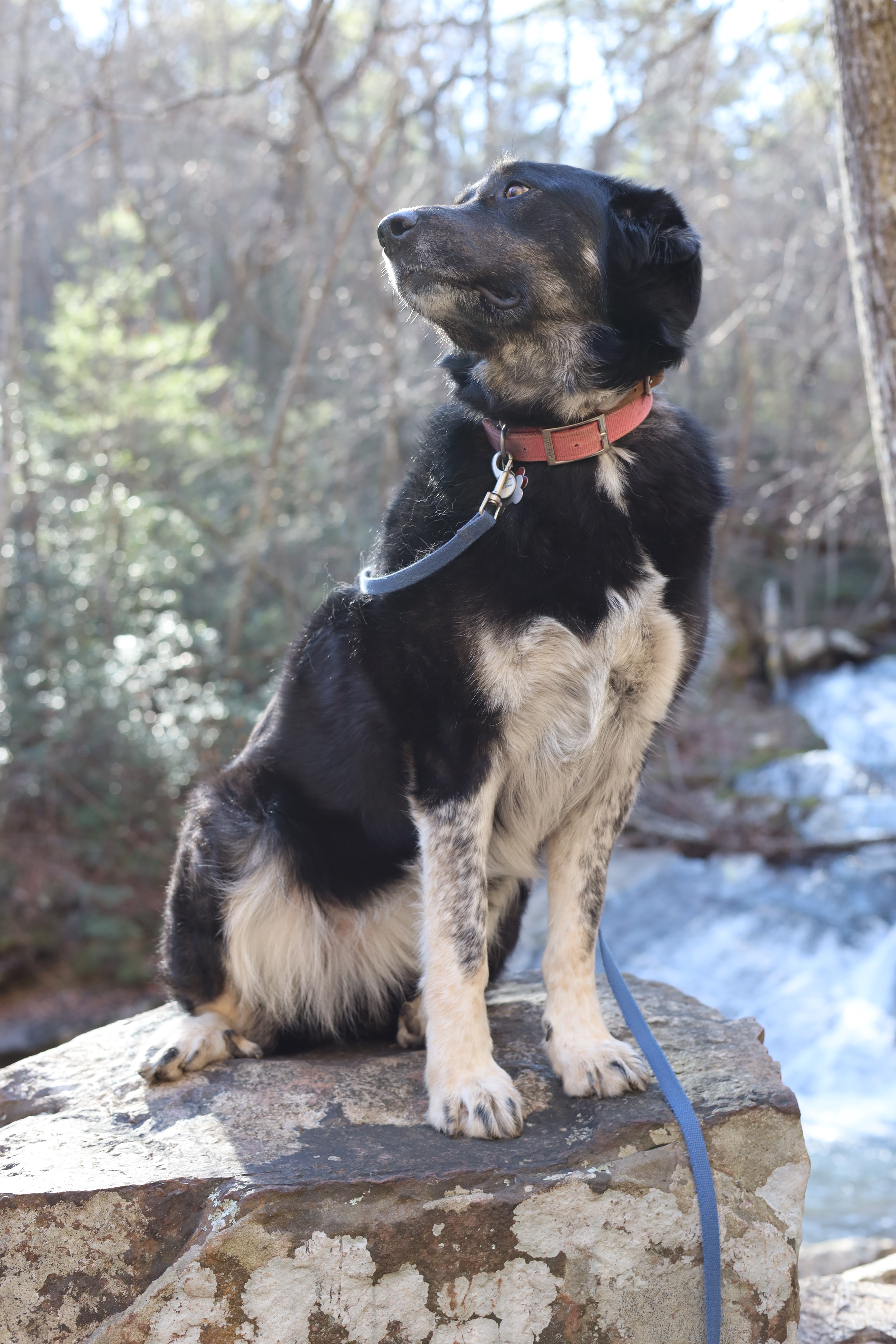
 We lucked out on our trip to Trayfoot Mountain.  We had no idea upon arrival that it was National Public Lands Day when we did this hike, so the entrance fee to the national park was waived.  The best payoff of this hike was at mile ~1.25, but the whole thing was pleasant.  There were two overlooks, a few nice creek crossings, and a very nice cleared backcountry camping area near one of the creeks.

We followed the directions found on Hiking Upward: https://www.hikingupward.com/SNP/TrayfootMountainPaineRun/

Approaching Blackrock summit ~1.25 miles into the trip

View from Blackrock Summit.  This area was quite popular because of the rock scrambling, gorgeous views, and proximity to the parking area


Looking towards Buzzard Rock (to the left in this photo).  Smaller viewpoint than Blackrock summit, but also nice.

The creek near our campsite


Saturday, September 18, 2021

Rock Castle Gorge

 It had been years since we had done Rock Castle Gorge!  This time, we parked at Rocky Knob campground (i.e. "car camping" campground) on the Blue Ridge Parkway and took the ~3 mile hike into the gorge before spending the night at the backcountry campground near the base of the gorge.  Note that although the "backcountry" campground doesn't have running water, it does include bear vaults, fire pits, and a porta john so it's a nice "beginner" backpacking option.  There is also a parking lot that brings you within a few tenths of a mile of the "backcountry" campground.  Also note - you need to pick up a free permit from Rocky Knob campground if staying in the backcountry space.

The campsite at the base of the gorge

Honey and I nearing the end of the hike

Casey and pup nearing the end of the hike


Sunday, January 31, 2021

Craig Creek Valley Overlook on AT - Brush Mountain East Wilderness

 It's interesting to me how different people find different pieces of hiking fulfilling.  Although this hike wasn't as much my cup of tea because our final destination "overlook" was really obscured, Casey really enjoyed the multiple creeks and woodsy ambiance.  We walked ~1.4 miles in to a somewhat obscured overlook ridge and then back again.  It was a quiet hike and if you like creeks, it was really nice.

From AT interactive map.  Park at 37.3793468795, -80.2502299672 and start directly across street from parking lot.


Our "final destination" - you can see that in the winter, views are there, but not particularly noteworthy compared to some of the more well-known overlooks in the area.