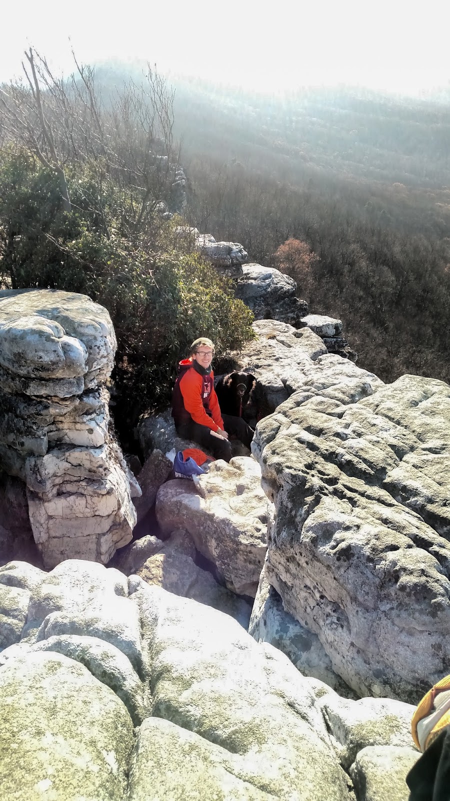
We tried to go to West Virginia and ended up at Tibbet Knob. I suppose you could say that we did end up in West Virginia (just barely!), although perhaps not the New River Gorge as we were originally intending. To backtrack for a moment, Casey and I are big on "experience" gifts. As a result, for Christmas he gave me a trip to the New River Gorge with an overnight in Staunton, VA on the way back home. This was a great surprise and would have been an amazing plan except for the fact that the New River Gorge is over 5 hours away from home and Casey's family was hosting a giant family gathering the night before. In order to get to the gorge and do a reasonably short hike before dark, we projected that we would need to leave in the early hours of the morning. On a normal off-work day, this might be workable, but with the family around, we wanted to enjoy the night without worrying about a lack of beauty rest. And so, we ended up keeping our trip closer to home and did this little hike on the way home from our overnight instead.
Tibbet knob is a neat hike with a great effort:reward ratio. Steep at parts, it had me out of breath a time or two, but overall the 1.6 miles up the mountain weren't too strenuous. Hiking Upward classifies the difficulty as a "2" (only second to the easiest hikes on the list), but I probably would have called it a "3" on the difficulty scale because Hiking Upward also calls Difficult Run up by DC a "2" and that hike is more of a walk in the woods with very few elevation changes. This hike also had two areas that were similar to the Billy Goat Trail near DC with some small scrambles to get to the top. To get to it, park at the Wolf Run Recreation Area and walk across the main street that the recreation area is off of (675). The trail is right there (yellow blazed) and easy to follow the whole way up.
We were the only ones on the trail which was quite nice.
 |
| Wooded area on trail |
 |
| Sun through the trees on a ridge |
 |
| View from the ridge |
 |
| Me at the ridge |
 |
| At the summit |
 |
| Me and Casey at summit |
 |
| Campground at the summit |
 |
| Tibbet Knob summit again |

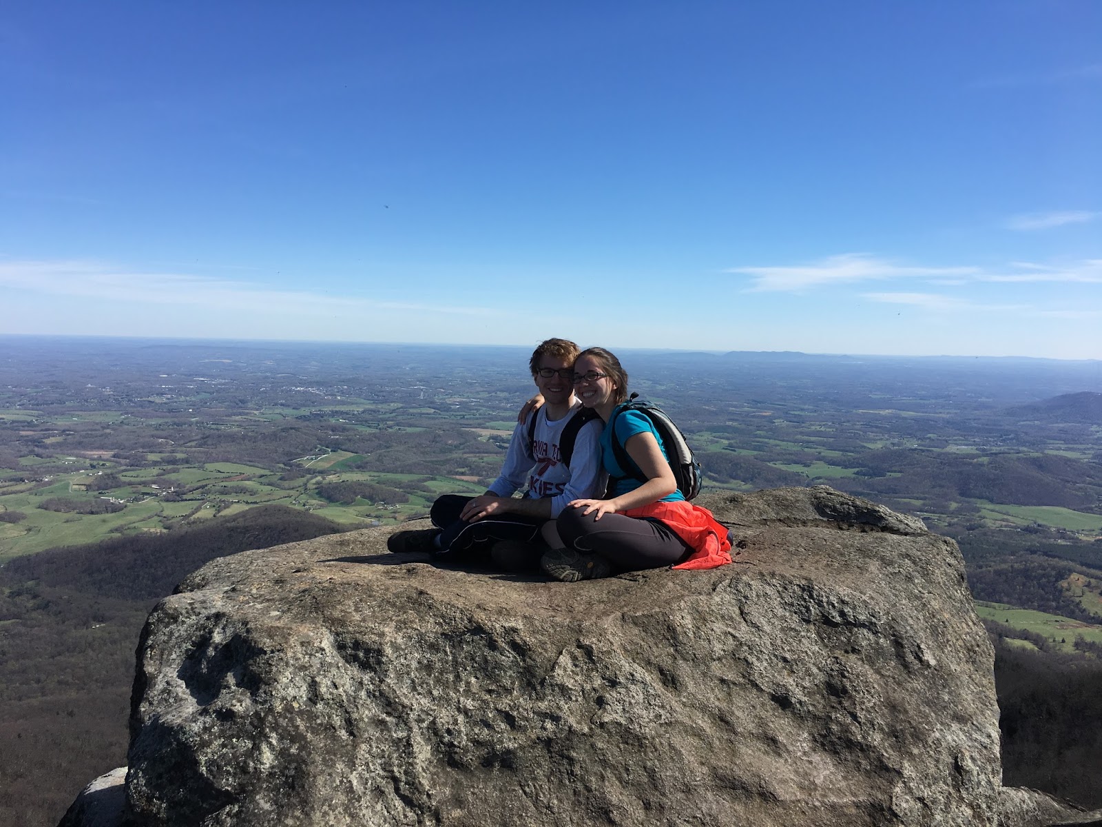
 This trail is the epitome of an urban hike. At about 6.2 miles, the loop is a multi-use walking and biking trail in Richmond that crosses the James River, bypasses a cemetery, traverses through several wooded areas, and provides access to Texas Beach and Belle Isle. For walking, it's a pretty easy trail with just a few mild ascents and descents. Casey and I haven't tried biking it yet, but I imagine that it takes a bit more finesse to manage the ramps, roots, rocks, and single-track areas on a bike. The bikers were generally kind to us (and are expected to yield to pedestrians), but at points the trail is tight. We parked at the Texas Beach access lot and took the trail in a clockwise direction, beginning on the Northbank trail, crossing the Tyler Potterfield Pedestrian Bridge, taking Railroad Ave. to get to the Buttermilk trail, following the Buttermilk trail to the Boulevard bridge, crossing the bridge, and then taking the rest of the Northbank trail back to the parking lot. It may be an urban trail, but it's worth checking out if you are in the area!