 |
| The group at the summit |
 |
| Views from the summit |
 |
| Views from the summit |
|
| The group at the summit |
|
| Views from the summit |
|
| Views from the summit |
 |
| Sign to the vistas |
 |
| Casey at a vista |
 |
| Casey and I at an overlook |
 |
| Another view |
 |
| Mountain laurel |
 |
| Casey and Max |
 |
| At Kate Kearney's Cottage before embarking on the Gap of Dunloe Walk |
 |
| Kate Kearney's Cottage |
 |
| Jenny and I on our walk through the Gap |
 |
| Sheep hanging out in the road |
 |
| Casey and I (view of road through gap) |
 |
| Wild baby goat |
 |
| The entire group at the top of the gap |
 |
| Lamb at Cronin's Yard |
 |
| View of Carrauntoohil from Cronin's Yard |
 |
| Mom and Dad at the top |
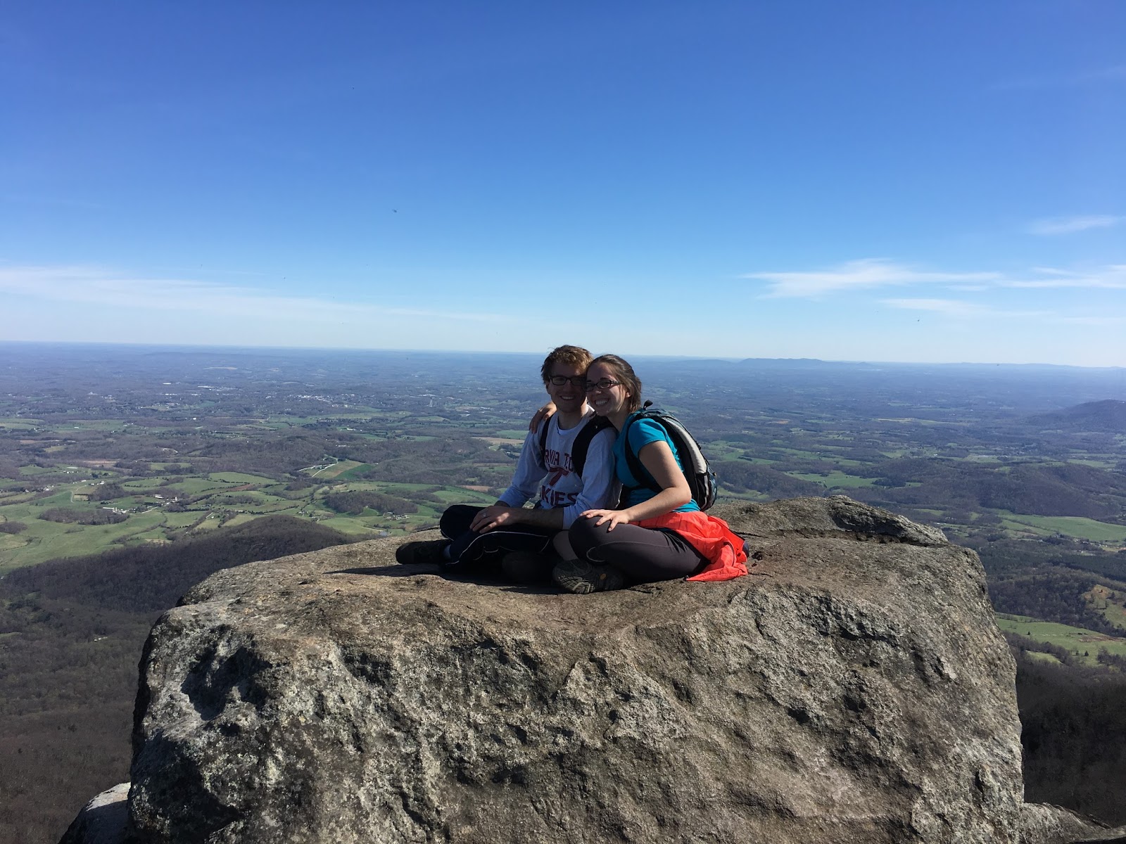 |
| Casey and I on the rock overlook |
 This trail is the epitome of an urban hike. At about 6.2 miles, the loop is a multi-use walking and biking trail in Richmond that crosses the James River, bypasses a cemetery, traverses through several wooded areas, and provides access to Texas Beach and Belle Isle. For walking, it's a pretty easy trail with just a few mild ascents and descents. Casey and I haven't tried biking it yet, but I imagine that it takes a bit more finesse to manage the ramps, roots, rocks, and single-track areas on a bike. The bikers were generally kind to us (and are expected to yield to pedestrians), but at points the trail is tight. We parked at the Texas Beach access lot and took the trail in a clockwise direction, beginning on the Northbank trail, crossing the Tyler Potterfield Pedestrian Bridge, taking Railroad Ave. to get to the Buttermilk trail, following the Buttermilk trail to the Boulevard bridge, crossing the bridge, and then taking the rest of the Northbank trail back to the parking lot. It may be an urban trail, but it's worth checking out if you are in the area!
 |
| Trail passes a cemetery |
 |
| Northbank Trail |
 |
| View from the T.Tyler Potterfield Bridge |
 |
| View of rock climbers and pedestrians from near the bridge |
 |
| Playing on rocks near Belle Isle |
 |
| View of the Appomattox River from High Bridge |
 |
| Casey looking over the side of the bridge |
 |
| The bridge doesn't look so high here, but it was right about at the treeline |
 |
| In downtown Farmville |
When life gives you lemons, make lemonade. Not that a 60 degree day in January should be considered analogous to lemons; however, when a ski weekend was in the plans, but not the forecast, hiking turned out to be a pretty good substitute. The weather was unusually warm on my trip to Massanutten, so Stephanie, Josh, and I decided to hit a different sort of slope. Hightop Mountain fit the bill. It was rated as having good views, being moderately difficult, and not too long. Add in that neither Stephanie nor Josh had previously been to Shenandoah National Park and it seemed like a "must do." The hike didn't disappoint. The trail was entirely along the AT and the vistas were quite nice, even if not quite up to the expansive summit area of Old Rag or the neat overhanging rock of McAffee's Knob. I'll let the photos do the rest of the talking.
|
 |
| View from Hightop Mountain (2nd vista) |
 |
| View from Hightop Mountain (1st Vista) |
 |
| Trees along the trail |
 |
| Stephanie and Josh on the trail |
 |
| Me at the first vista |
